Original: $18.27
-65%$18.27
$6.39The Story
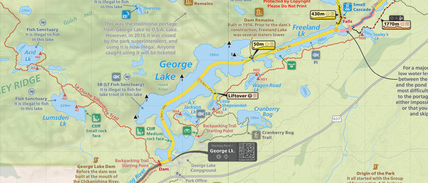
Portage Elevation Profiles
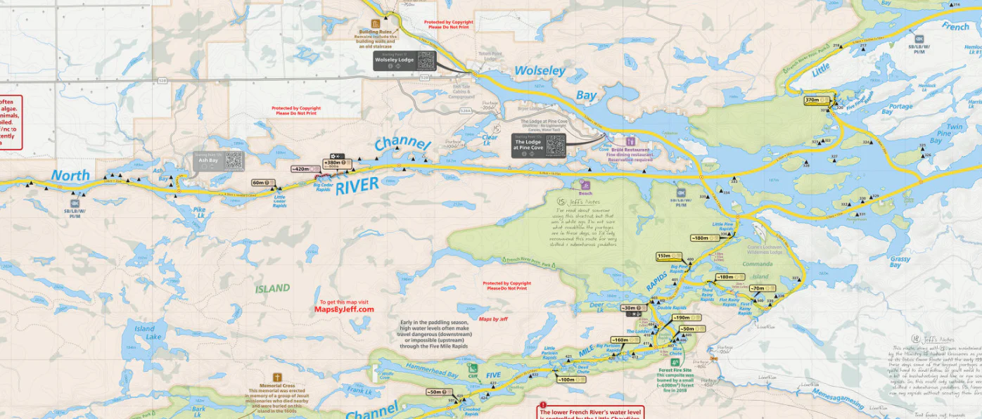
While most portages on the French River are fairly flat, there are definitely a few "memorable" exceptions.
Now, thanks to the portage elevation profiles, you’ll know where the hills are before you go.
From Lake Nipissing to Georgian Bay
For maximum detail, I've zoomed in and split the French River into two seperate double-sided maps.
They’re carefully laid out with a bit of overlap, so unless you’re paddling the entire river, you’ll only need one.
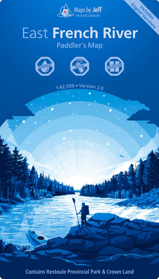
The East French River map covers Highway 69 up to Lake Nipissing
The West French River map covers Highway 69 down to Georgian Bay
Not sure which one you need? Just tap either of the blue map covers above – you’ll be able to preview the entire map in detail before you buy.
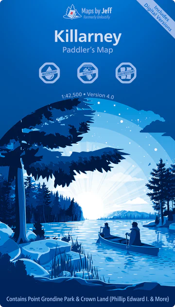
P.S. If you’re paddling along the northern Georgian Bay coast, the Killarney map connects with the West French River map for continuous coverage.
Waterproof & Digital
When you buy a map, you'll get six different formats:
- a printed waterproof & tear resistant copy
- an Avenza Maps compatible file (for iOS/Android)
- a Garmin 'Custom Map' file, compatible with most modern GPS's (except the InReach mini/SE/Explorer)
- a Google Earth Pro file
- a high-resolution JPEG – great for making enlargements
- a GeoTIFF, compatible with most mapping software
Details & Craftsmanship
Every detail has been carefully considered to bring you the perfect product.
Description
Portage Elevation Profiles
While most portages on the French River are fairly flat, there are definitely a few "memorable" exceptions.
Now, thanks to the portage elevation profiles, you’ll know where the hills are before you go.
From Lake Nipissing to Georgian Bay
For maximum detail, I've zoomed in and split the French River into two seperate double-sided maps.
They’re carefully laid out with a bit of overlap, so unless you’re paddling the entire river, you’ll only need one.
The East French River map covers Highway 69 up to Lake Nipissing
The West French River map covers Highway 69 down to Georgian Bay
Not sure which one you need? Just tap either of the blue map covers above – you’ll be able to preview the entire map in detail before you buy.
P.S. If you’re paddling along the northern Georgian Bay coast, the Killarney map connects with the West French River map for continuous coverage.
Waterproof & Digital
When you buy a map, you'll get six different formats:
- a printed waterproof & tear resistant copy
- an Avenza Maps compatible file (for iOS/Android)
- a Garmin 'Custom Map' file, compatible with most modern GPS's (except the InReach mini/SE/Explorer)
- a Google Earth Pro file
- a high-resolution JPEG – great for making enlargements
- a GeoTIFF, compatible with most mapping software